Search something
Explore the Royal Docks Waterways
Interactive map
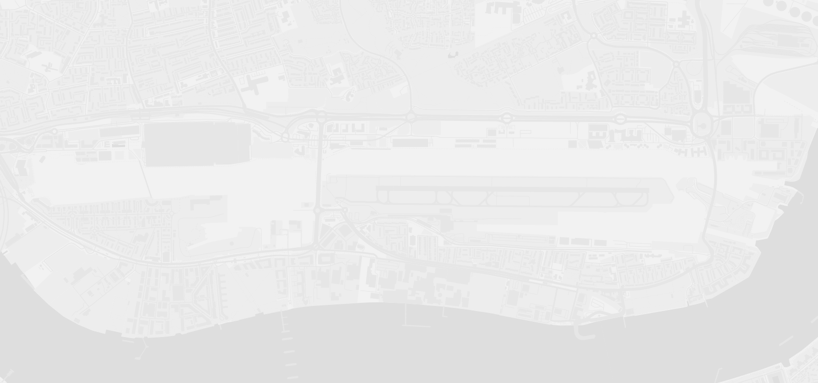
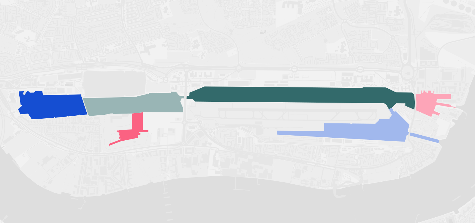
Every point on the map tells part of the story of how we care for and manage the Royal Docks. Select a dock to get started, then click any highlighted point to discover the infrastructure and features that keep the water working for everyone.
What We Do
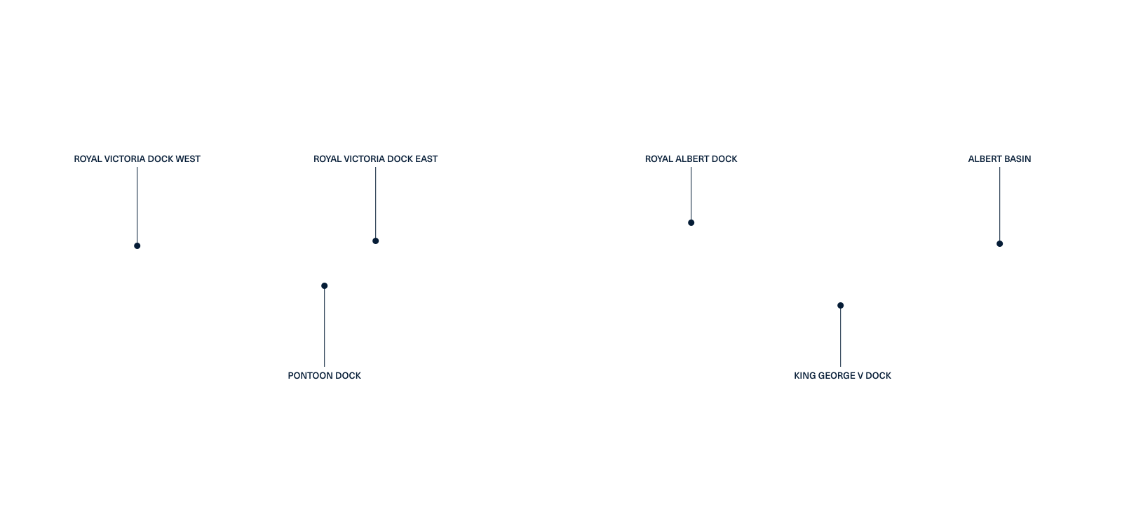
Royal Victoria Dock West
Royal Victoria Dock West is where the vision for the Royal Docks becomes reality, a new destination on the water that will open it up for everyone to...
Discover moreRoyal Victoria Dock East
Royal Victoria Dock East is one of the most active and connected stretches of water in the Royal Docks network.
Discover morePontoon Dock
At the edge of one of London’s most exciting regeneration projects, Pontoon Dock is a dock with a past worth honouring and a future worth investing in.
Discover moreRoyal Albert Dock
Royal Albert Dock is one of the most active stretches of water in the network.
Discover moreAlbert Basin
The easternmost point of the Royal Docks, Albert Basin is where the network meets the river.
Discover moreKing George V Dock
King George V Dock sits alongside London City Airport at the southern edge of the Royal Docks.
Discover moreGet In Touch
We’re keen to hear from you, whether it is about pursuing an opportunity, or finding out more as a local stakeholder or resident.
Newsletter
Leave your name, email and organisation (if relevant) and we’ll keep you posted with updates.